Skip to content
THIS IS NEWPORT
News and features from the city of Newport
Latest updates
City centre decline in focus again
Time to sell off the Civic Centre?
Six jailed in £300k puppy farm fraud
Council Tax to rise by 8.5 per cent
Newport continue title push
Latest news
recently updated
Black and Ambers- Newport RFC
Newport County - The Exiles
Newpbeat - Events and Reviews
The Port - past and present
Other sport
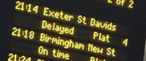
LIVE TRAIN INFORMATION - NEWPORT
LIVE BUS INFORMATION - NEWPORT
TRAFFIC INFORMATION - Newport